|
By: Paul S Cilwa |
Occurred: 3/10/2008 |
|
Page Views: 1,486 |
| Hashtags: #Places #Payson #Arizona #Snow |
| We take the boys on a drive from desert to snow! |
| Estimated reading time: 5 minute(s) (1008 words) |
Our path was to be the Beeline Highway, which extends from Mesa to Payson.
Michael and I used to travel this road frequently, when we lived up in
Snowflake. It was our route to the airport. Then, it was a simple country
highway. Now, after nearly a decade of construction, it is for much of its
length a limited access highway and the trip from our house to Payson takes just
a shade over an hour.
This was Michael's day to go to the opera with our friend Willis, so he
didn't go with us. Besides Zachary, "we" consisted of Zach's friend Chris; his
mother Jenny and Aunt Karen; their mother Mary, and their father, myself.
Our shortcut to the Beeline from East Mesa takes us out to the Salt River,
where we have spent so many weekends on float trips, East on the ill-named Bush
Highway, past Saguaro Lake, and onto AZ-87 which is the Beeline.
Since the drive to Payson would be so short, we stopped at
Ballantine Trail
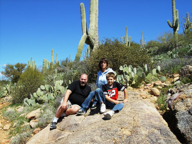
Head for a "hikelette", a short stroll among the Saguaros
so the little boys would be able to contrast the weather and vegetation in the
Valley with what we would find on the Rim.
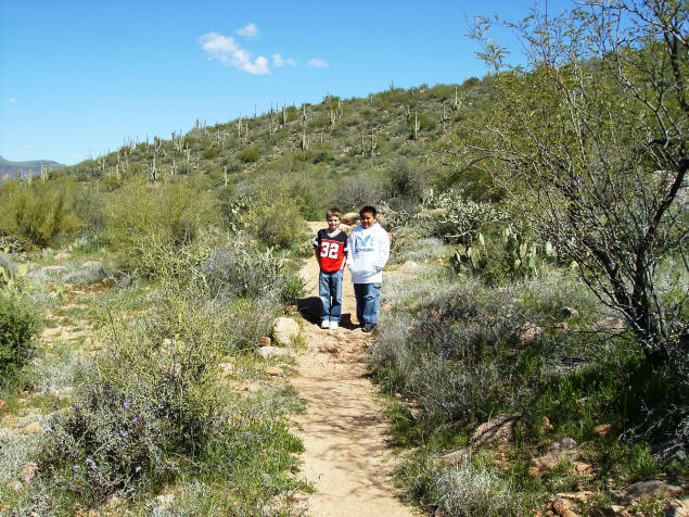
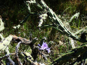
Remember, Ballantine Trail (which is also, along this stretch, Pine Loop Trail), is
only about 20 minutes from our house. And it's true you can see the
highway from this length of it. Still, how wonderful we can still
wander into the desert with so little effort or expense! Also, note
how green it all is this year. This winter's rains have been most
helpful. There were a profusion of delicate desert flowers growing
from the various species of cactus that line the trail.
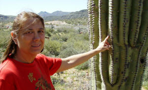
The highlight of this trail is that it passes between many examples of giant
Saguaro (pronounced "Sa-where-oh") cactus, as close to a forest of them as is
possible to be. Like any cactus, they are covered
with spines; but if one is careful it's possible to slip one's finger between
the spines and to touch the firm surface. This doesn't hurt the tree, and given
the large number of hikers who pass this way and poke at the saguaros as they
do, apparently the trees don't mind it.
Chris was reticent to touch the trunks but everyone else did. We could almost
feel the strength and patience of these grand old trees, most of which here are
well over a hundred years old.
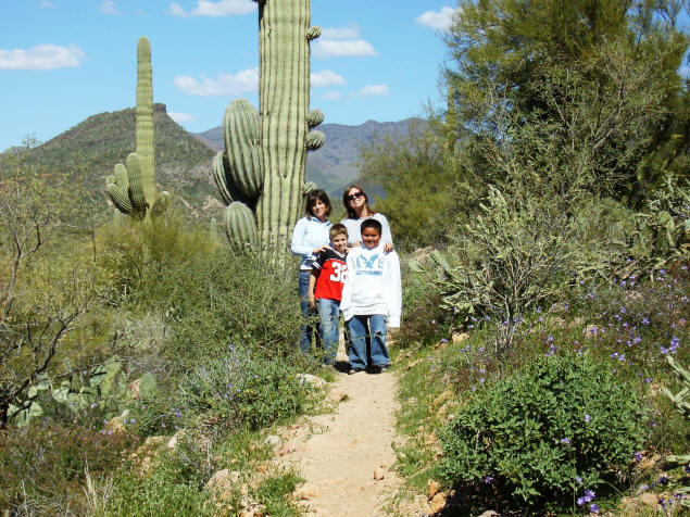
This trail is mostly level. In fact, I took my Mom on it when she
was in her nineties! And it provides many opportunities for
relaxing, reflection, and observation.
After our stroll, we returned to the car and continued up the hill
to Payson, watching as the outside temperature (thoughtfully
reported on the dashboard by our New Car) dropped. We stopped at
Payson's Burger King where we had lunch and made another stop at
Walgreen's for Bonine (we had a couple of cases of car sickness) and
a new ball cap for yours truly. Then we turned onto AZ-260 and drove
the switchback highway up the side of the Mogollon (pronounced
"Mug-a-yon") Rim. Payson is over 5000 feet above sea level. The Rim
is 2000 feet higher than that.
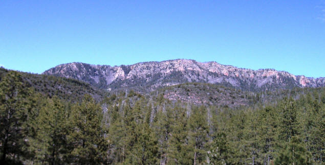
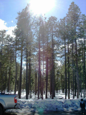
At the top, where the great Colorado Plateau begins, was a stretch of
snow and some recreational areas. The roads into them were closed,
but we parked near the entrance to one and got out to play in the
White Stuff. The temperature was a balmy 51°F.
Yes, I wore shorts. What's your point?

My new cap says "Rim Country".
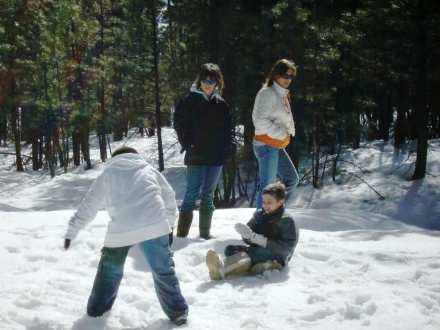
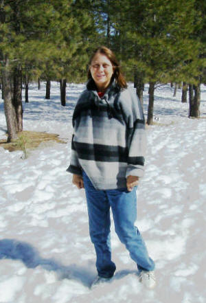
Even Mary ventured into the weather, which after all wasn't really
brutal. In fact, the snow was melting pretty fast though it wasn't
obvious to look at it.
But it was quite deep in spots, especially between the trees.
Walking on it was a challenge, because while it would
usually hold a person's weight, you never knew when the next step
would sink six or twelve inches. At one point, my left leg actually
sank to my hip, and my shoe fell into a hidden puddle deep enough to
soak it with freezing water. No one was near me at the time, but I
managed to extricate myself despite having the strains of "My Heart
Will Go On" run through my head.
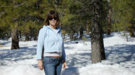
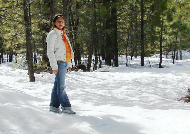
Again, it's fine to have fun in a natural setting; but it's also an
appropriate place for a little introspection.
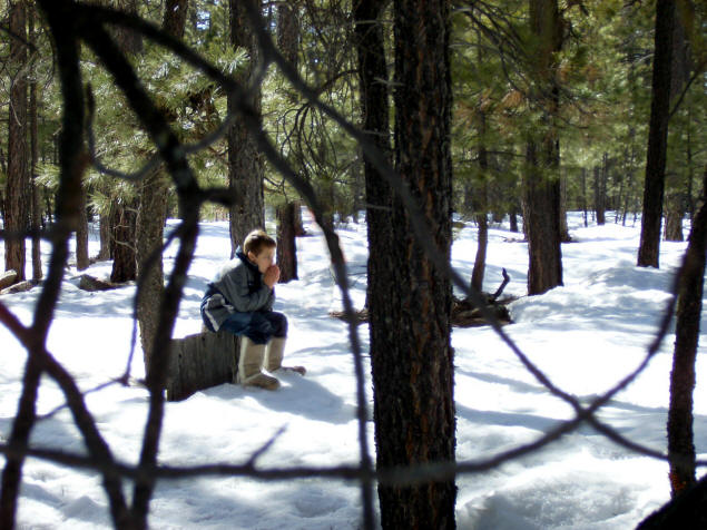
I asked Zach if he could explain why Ballantine was so warm and filled with
cactus, and here on the Rim there was snow and pine trees. He didn't hesitate a
moment. "It's the difference in altitude," he said. And so it is.
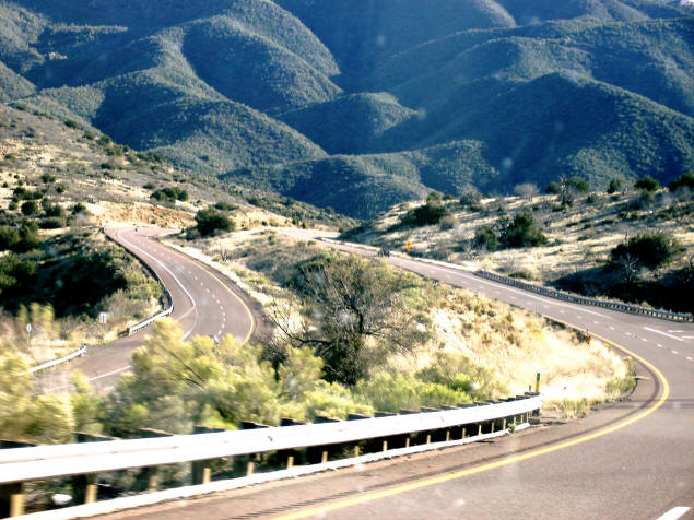
On our return, Jenny took over the camera and snapped photos out the
windshield. Such pictures rarely "turn out" but thanks to digital
cleanup later, she got some spectacular shots. On the way up, we'd
been focused on getting to the rim and our snowy destination. Now,
we could enjoy the scenery, well worth appreciating for its own
sake.
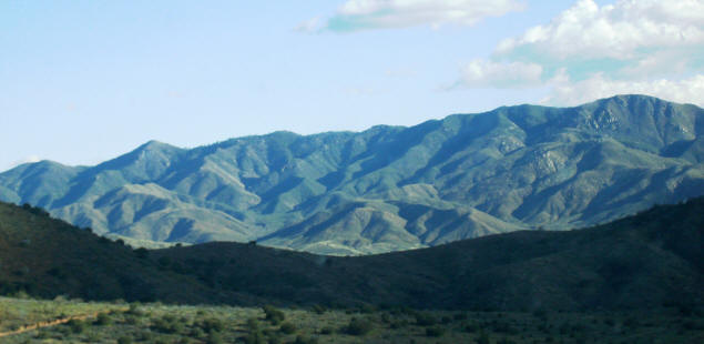
Again, we were amazed at how green our normally brown desert had become.
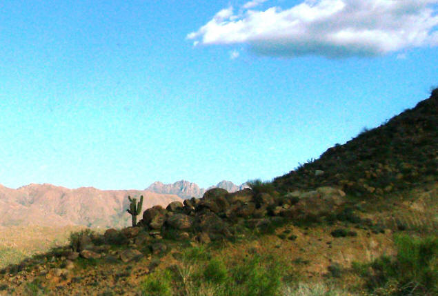
And with the appearance of our neighborhood landmark, the Four Peaks, we knew we were nearly home.
One of Arizona's many delights is the range of climates, each at its own
altitude, and each accessible via a relatively short Sunday drive. This was a
particularly enjoyable one.