A Million Little Pieces Of My Mind

Arizona

Usery Mountain Regional Park

By: Paul S Cilwa Page Views: 1,438
Hashtags: #Places #Arizona #UseryMountainRegionalPark
A Million Little Pieces Of My Mind
Estimated reading time: 3 minute(s) (529 words)

Usery Mountain Regional Park became a park in 1967. Pass Mountain, also known as "Scarface" to the local folks, is the geological focal point of the park. The mountain itself was named for King Usery (sometimes spelled Ussery). "King" was his first name, rather than a title. He was a cattleman who was running stock in the area in the late 1870s and early 1880s. He had a tough struggle to survive and, apparently losing ground, moved up into the Tonto Basin country where his activities, unorthodox, provided him a kind of unwanted security…behind bars.

On January 5, 1892, the Globe-Florence stage was held up by two highwaymen and two bars of silver bullion, valued at $2,000, were stolen. The driver identified the highwaymen as King Usery and Henry Blevins. Posses took the field, soon learning that Usery had been riding a black horse stolen from the Webb Ranch on Tonto Creek. At the George Middleton Ranch, the sheriff and his deputies were told that Usery had been seen burying something in swampy ground near the Salt River. One of the bars was quickly recovered. Surrounded at his ranch, Usery surrendered but a search revealed he had hidden two pistols inside his pants legs, suspending them from his belt with rawhide thongs. For this crime, Usery was sentenced to a term of seven years in the Territorial Prison in Yuma. Despite a successful plea for a new trial, the conviction stood. After two years, he was pardoned.

Usery wandered from the legal path a second time and was convicted of stealing cattle. He received a light sentence in Gila County and upon his release, he disappeared.

Usery Mountain Park is on the border of a mountain region. Nearby ranges are: the Superstitions on the east, the Goldfields on the north and northeast, the Usery Mountains immediately northwest, and the McDowell Mountains across the Salt River to the northwest. A broad basin lies west and south of the area.

Usery Pass was also known for being a major sheep trail leading from the high country north of Mt. Baldy south to the Salt River Valley. Flocks of sheep, led by Mexican and Basque shepherds with their dogs, presented a picturesque sight in the spring and fall as they moved into or out of the Coconino plateau region.

Located on the Valley's east side, this park takes in 3,648 acres set at the western end of the Goldfield Mountains, adjacent to the Tonto National Forest.

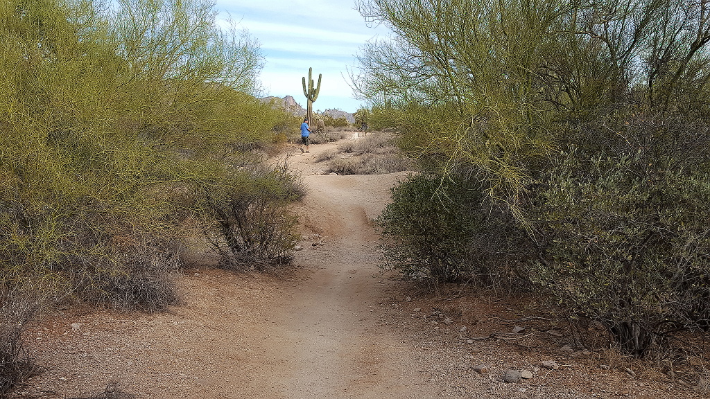
The park contains a large variety of plants and animals that call the lower Sonoran Desert home. Along the most popular feature of the park, the Wind Cave Trail, water seeps from the roof of the alcove to support hanging gardens of Rock Daisy. The Wind Cave is formed at the boundary between the volcanic tuff and granite on Pass Mountain. Breathtaking views from this 2,840-foot elevation are offered to all visitors.

Usery Mountain Regional Park offers over 29 miles of trails for hiking, mountain biking and horseback riding. Park trails range in length from 0.2 miles to over 7 miles, and range in difficulty from easy to difficult.