|
By: Paul S Cilwa |
Occurred: 12/21/2008 |
|
Page Views: 1,979 |
| Hashtags: #Superior #Arizona #QueenCreekGorge #Travel #Photography |
| All about my drive through one of Arizona's many scenic gems. |
| Estimated reading time: 3 minute(s) (703 words) |
I've passed through Queen Creek Canyon probably a dozen times, and every time
I wanted to take pictures. But either I didn't have a decent camera, or the
light wasn't right, or I was in a hurry to get somewhere else. This morning I
got up early for the express purpose of running out there in the SUV and getting
a few shots of this exquisite bit of Arizona that is largely unknown to most
people, other than those who live in the immediate area.
First, to find it: US 60 runs right through Phoenix—in fact, for a lengthy
stretch it shares tarmac with I-10. You just keep going east until you get to
Superior, then keep going east just a few miles more.
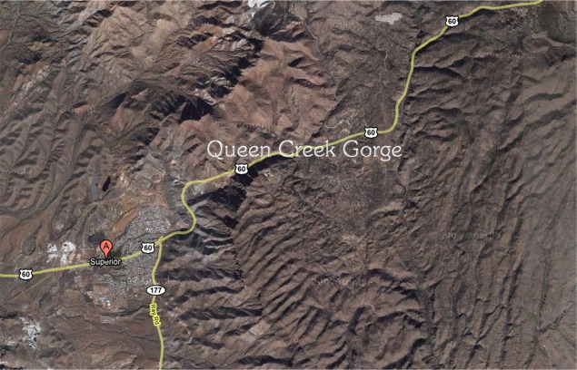
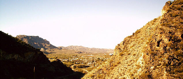
The road is in excellent condition and there are plenty of turnoffs
to allow for safe photography. The first thing you'll want to do is
turn around and get a shot of Superior, nestled in the crook of the
canyon's apron.
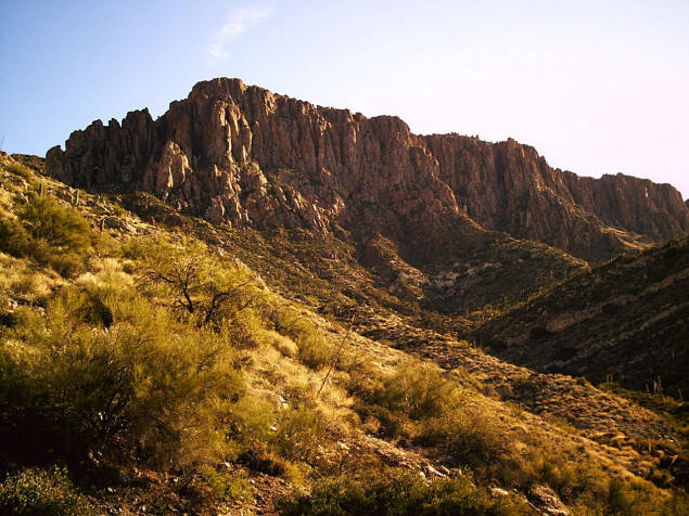
At this point the sides of the gorge haven't pushed in close enough
to make you feel squeezed; but there are still plenty of impressive,
near vertical rock walls to provide of hint of that which is to
come.
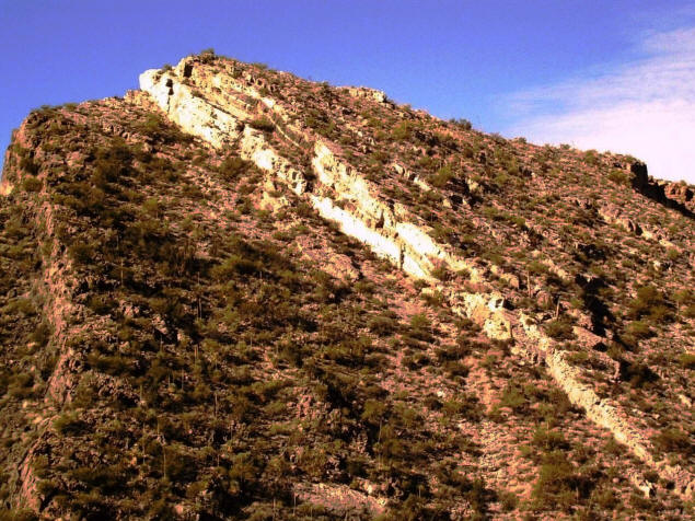
Geologically, the strata of this area are jumbled; so while some
layers have been turned completely vertical, as in the above photo,
others are canted. Remember, every layer was once absolutely flat
sea bottom, a fact which is easily verified by examining some of the
exposed limestone, such as is shown below, for numerous microscopic
skeletons of ancient sea creatures.
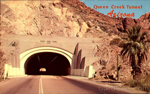
Continuing along the road, you'll encounter the so-called
"million-dollar tunnel" that was carved out over fifty years ago
when US 60 was a major route.
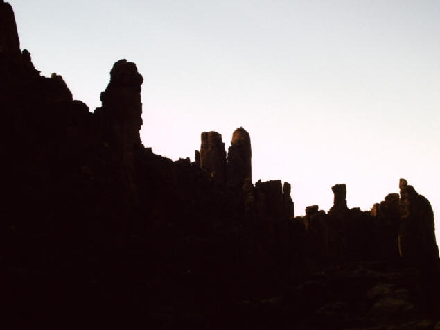
This whole area was once flat; but wind and water erosion carved out
the fantastic shapes we now see on either side of the road. Reaching
like petrified giants' fingers to the sky, they are called "hoodoos"
and contribute to the other-worldly feeling of the place.
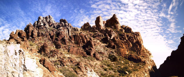
Indeed, the hills of Mars must look much like Queen Creek Canyon.
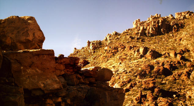
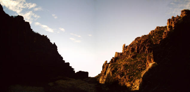
If you want to catch interesting photos of pretty much anything, but
especially mountainous regions and rock formations, you generally
want to get your shots in when the sun is low. At noon when the sun
is directly overhead, photos tend to look rather flat and lifeless.
At 10 or so in the morning, on the other hand, each rock stands out.
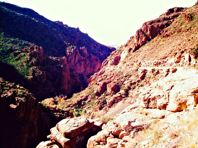
There's also a rule of thumb that you want the sun "over your
shoulder" when taking a picture. This is useful advice when taking
photos of people, but with landscapes, a shot toward the sun
might well be far more breathtaking.
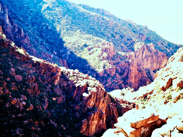
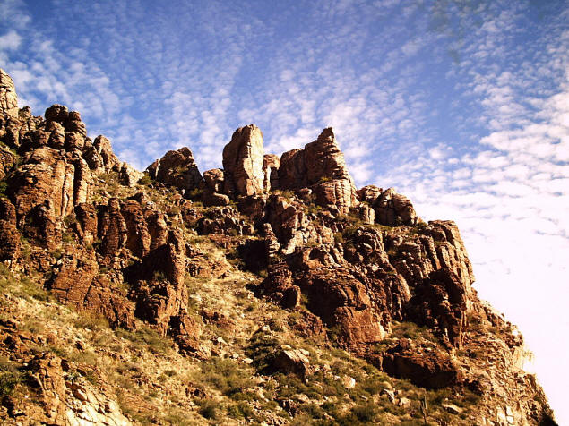
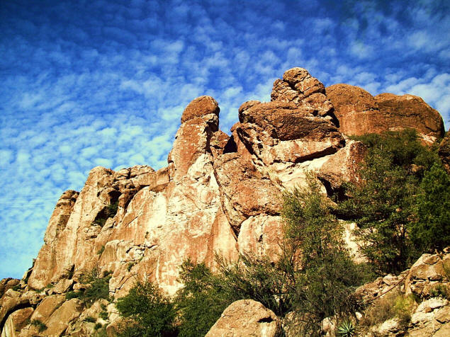
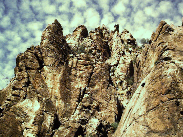
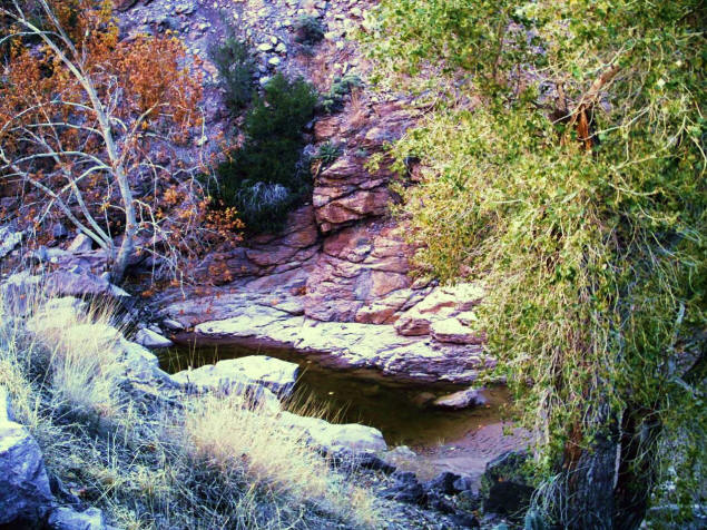
As the canyon narrows and becomes more of a gorge, there are
little stagnant pools that is all that is left of Queen Creek in the
fall. A few months from now, when the high country snows melt, the
creek will roar with the rush of icy water heading toward the desert
valley below.
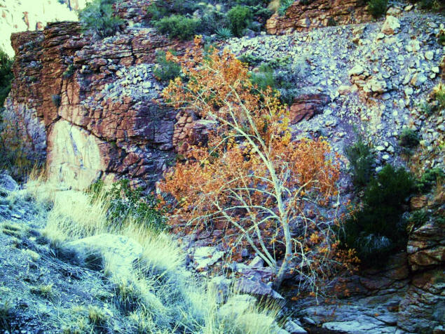
We don't get a lot of trees changing color around here, but it was fun to
find one little tree clinging to life on the edge of the creek, its leaves
forlornly dressed in what passes for its finest.
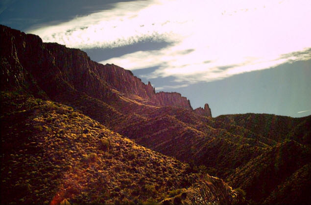
As the sun rose higher and the shadows became less dramatic, I turned around
and headed toward home. I now had the opportunity to pick more detail out of the
hillside, although the photo below required me to digitally brighten only the
hill to avoid washing out the sky.
Finally, one last panorama before heading home.
The map indicates a lot of interesting side roads that cried out to be
explored. Hopefully I'll be able to do some of that on a future trip.