|
By: Paul S Cilwa |
Occurred: 3/6/2010 |
|
Page Views: 1,116 |
| Hashtags: #Tucson #Arizona #MountLemmon #Summerhaven #CatalinaHighway |
| All about my drive up the Catalina Highway from Tucson to Summerhaven at the top of Mount Lemmon during which I lost 40°F. |
| Estimated reading time: 9 minute(s) (2012 words) |
The drive to Tucson was pleasant if uneventful. My goal was the Catalina
Highway, and my GPS brought me right to it.
The very first time I visited this place was in the early 1980s.
I had been asked to interview with Hughes Aircraft for a computer
programming job. Other than having vaguely heard of the company, I
knew nothing about it. I accepted the offer of an interview because
I had been to Arizona once as a kid and loved it, and the job, if I
was offered it and took it, would be in Tucson.
I arrived at the airport and was given the keys to a rental car. As I drove
to the Residence Inn where I would spend the night before the next day's
interview, my eyes were drawn to the huge mountain rising at the edge of the
city.
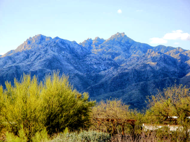
It was impossible to get away from it; it was visible everywhere. And, since
I love mountains anyway, it wound up occupying more of my mind than the
interview.
The interview was held at Hughes headquarters, a huge, re-fitted aircraft
hangar. The interior of the hangar was filled with cubicles. As I followed one
of the programmers to the back of the hangar where the group that was hiring was
located, I glanced into cubicle after cubicle. Although people were in them,
they were utterly impersonalized.
I asked the programmer about it. "How come none of the cubicles is
decorated?" I asked. "Are all these people temp workers?"
"What do you mean, 'decorated'?" the woman responded.
"You know, plants or posters of kittens saying 'Hang In There Baby' or
pictures of their kids, stuff like that."
The woman stopped short and stared at me. "Why would anyone do that?" she
asked.
I intentionally blew the interview. Clearly, this was not a place
I would want to work.
But my flight out left the next day, and I still had the rental car and motel
room. So I decided to drive up Mount Lemmon.
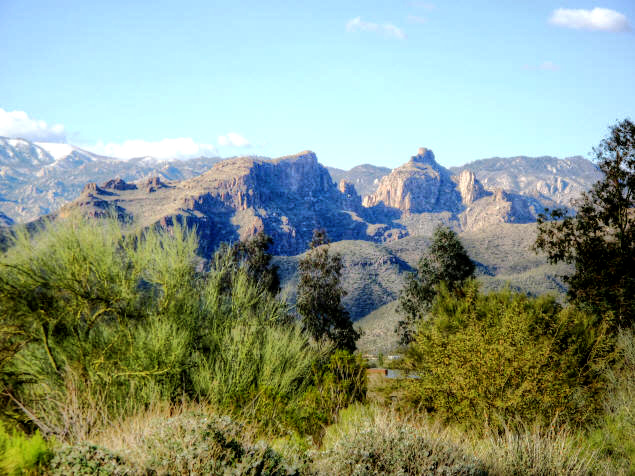
I knew nothing about where I was going. I had a map of Arizona, and decided
to eschew the paved road for a gravel road going up the "back" of the mountain.
I thought it would be quieter, and I really wanted to see the Arizona stars at
night.
By the time I got to the road, it was already dark. I'd been warned this was
a dangerous road; but at night I could see approaching headlights ten minutes
before they got to me. I was just bragging to myself how I had inadvertently
chosen a safer
time to drive because I could see oncoming headlights, when I had to jam on my
brakes. Ahead of me, in the middle of the road, was a cow…without headlights.
The road was curvy and full of hairpins, the kind of road that people who
like to drive, like to drive. The only downside was that I couldn't see anything
but the road in front of me. Today, driving up the Catalina Highway, I could see
innumerable saguaros and countless side canyons on both sides of the road.
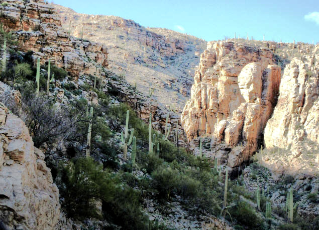
Unlike the gravel road I drove in 1981, Catalina Highway is in perfect
condition and easy and safe to navigate. I understand it was recently improved,
with the speed limit lowered to 35 mph. But you wouldn't want to go faster than
that anyway; you'd miss too much.
A kiosk in the middle of the road explained that the road was free to cars
driving directly to Summerhaven or Ski Valley and just using the vistas; but if
you wanted to park at a trailhead or campground or picnic ground, or use
restrooms along the way, there was a $5 charge for one day (or a $20 annual
pass). However the kiosk was closed. There was an automated station a little
further on, but I didn't stop since I intended to drive straight to Summerhaven.
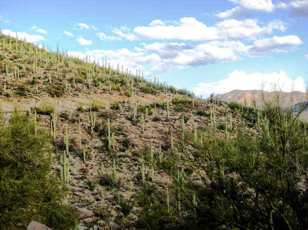
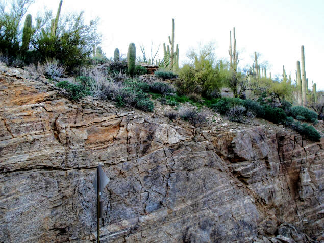
Mount Lemmon, named after botanist Sarah Lemmon who hiked to the top by mule
and on foot in 1881, is typical of Central Arizona mountains, consisting of
mixed limestone layers pushed up and sideways by some ancient cataclysm, and
sandstone hoodoos. Since the road in many places had to be cut into the road,
the layers become easy to see and appreciate.
When I left Tucson, it was a delightful 80°F and mostly sunny late afternoon.
Catalina Highway has several names for some odd reason. First, there's
"Catalina Highway". This name comes from the Catalina Mountains, of which Mount
Lemmon is a member and the highest peak. But the highway's official name is the
"General Hitchcock Highway", after the former Postmaster General of the United
States who pushed for the road's construction.
Nevertheless the National Scenic Byway system has its own designation, and
its signs on the highway refer to it as "Sky Island Parkway".
I also saw signs calling it "Mount Lemmon Highway" and "Summerhaven Road."
All the same road.
Mount Lemmon rises 9,157 feet above sea-level, and Summerhaven is typically
20°F cooler than Tucson, making it a popular summer destination. I was driving
relatively late in the day, so nearly all the traffic was in the opposite lane,
heading back down. This change in altitude meant that I would experience
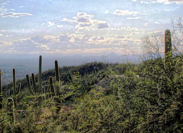
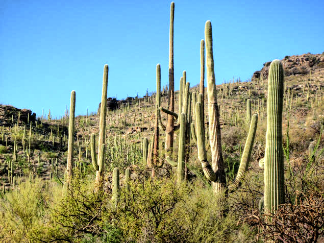
distinct environmental zones as I drove. I started out in the Sonoran Desert,
which meant many, many saguaro and other cacti.
There were frequent pullouts, plus numerous warnings to slower vehicles to
use them. I wasn't blocking traffic but I used a lot of them anyway to take
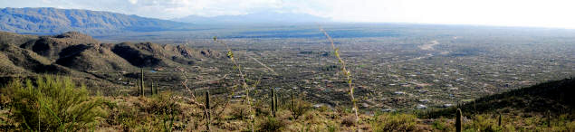
pictures. One of the early ones gave an impressive view of Tucson below. At this
point I had only reached mile marker 3 on the Catalina Highway.
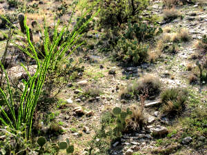
I was particularly
impressed with how green the "desert" was. Of course, we've had an unusually wet
winter this year; and Mount Lemmon receives an average of 180 inches of snow
anyway, which melts and trickles down. Still, even the ocotillo was vibrantly
green.
In addition to the pullouts, the Catalina Highway is festooned with "vistas",
parking areas that allow the smitten tourist to pull off, take photos, and even
hike. The first I came to was the Molino Canyon Vista. At this point I had
climbed above the Sonoran Desert zone and was at a point where the semi-desert
grassland zone met the oak woodland zone.
It was at this level on the backside of Mount Lemmon in 1981 that
I had come upon a pack of peccaries, wild pig—like animals, crossing
the road. Signs warned peccaries might be crossing the road on this
side, too.
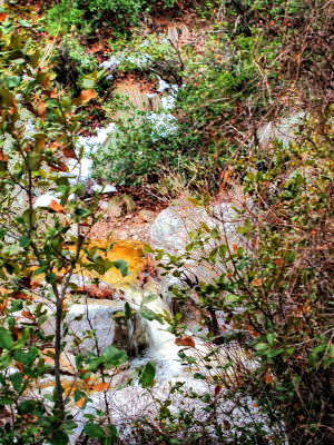
A trail led a short way to a stream busily making its way over rocks and past
trees and plants. I don't know if the stream is perennial, but if it is this
would be a great place to come and play in the water in the summer when it's
warmer.
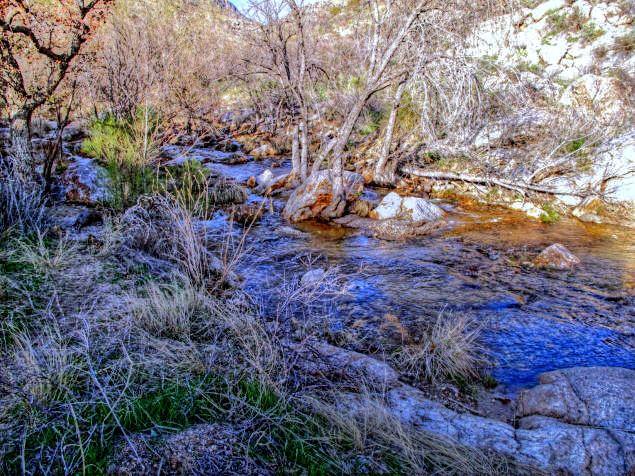
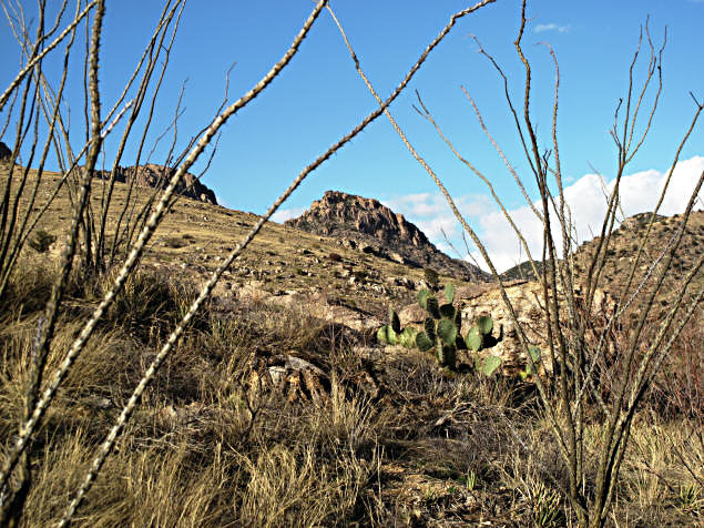
Here at the juncture of the two zones, it was already drier, effectively
earlier in the season. Driving up a mountain in springtime is like taking a time
machine back to late winter. Note the ocotillo in the below picture, whose
leaves have not yet sprouted.
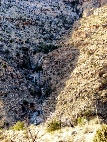
When I got out of the Expedition at Seven Cascades Vista, it didn't take me long
to spot the seven cascades. This is definitely a hike I want to make some day.
Although it was probably coincidence and not related to my increase in
elevation, as the time passed the sky grew more interesting. According to
WeatherBug on my cell phone,
a winter storm was moving in. The clouds were
becoming thicker in the sky and more leaden.
Within another five miles' drive, I was deep in the Ponderosa Pine forest
and had spotted snow on the
ground. Just patches of it, to be sure; but the air temperature was still in the
60s! Streams ran alongside the road, easily accessible from the many pullouts.
At this point, I could look up and see bare rocks; out the side windows to
see ponderosa pines, snow patches and streams; and over the edge of the
neighboring, lower peaks to look deep into the desert below.
Then the sky got really interesting as the clouds crashed into the
mountainside and began pelting the Expedition with frigid raindrops.
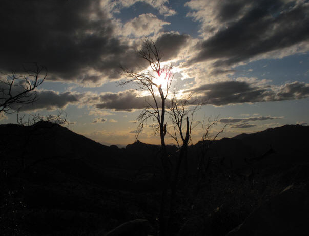
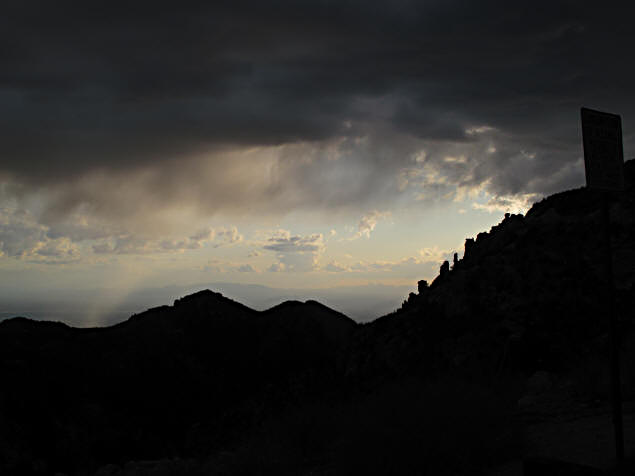
This, of course, did not stop me. And, in fact, the clouds blew by and the
rain stopped within minutes. Now I was in the mixed conifer forest about 5000
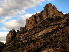
feet, surrounded by rock hoodoos (Native Americans used to call these "standing
people").
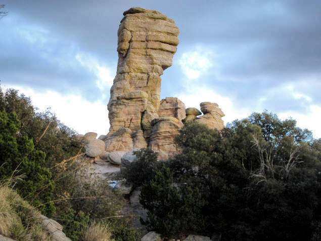
Although the above is a stunning example of a hoodoo, the road was in fact
cut through a whole assembly of them.
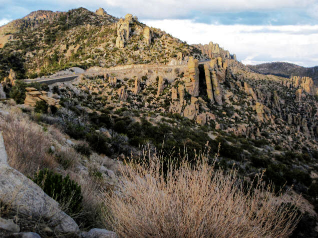
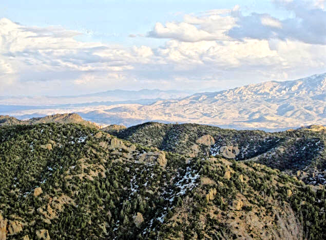
Near the top of Mount Lemmon, the trees thinned out and it was possible to
enjoy a vista that included snow-patched hills and the Sonoran Desert
half-a-mile below. All the environmental zones of Mount Lemmon, nearly 6,000
vertical feet of them, in view at once!
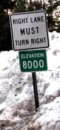
The town of Summerhaven isn't at the very peak of
Mount Lemmon; there's actually an astronomical observatory there. But at about
8,000 feet above sea level, I encountered a lot of snow. At this
altitude, the time machine of Mount Lemmon had taken me clear back to the dead
of winter.
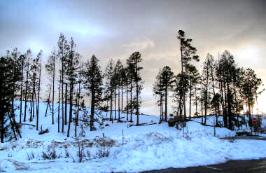
There were also signs to something called "Ski Valley". The snow was too
slushy, I thought, for skiing—the air temperature, even now at sunset, was only
37°. But signs advised that "Summerhaven Businesses Are Open!" so I continued in
that direction, hoping to find a restaurant somewhere for dinner.
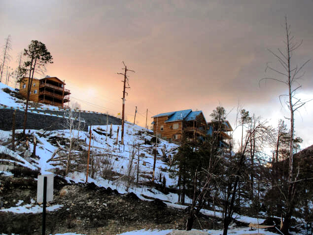
The signs had lied. Nothing was open. The driveways to businesses hadn't even
been plowed, so there'd be nowhere to park even if some eager shop or café had
attempted to service customers.
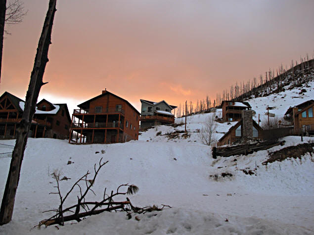
It looks like an interesting place, and it's supposed to be booming, in a
remote, mountain village sort of way, in the summer. But it looked pretty much
deserted to me. There weren't even any lights in the windows.
In 1981, at the highest point of my drive—I had to stop; the road
was blocked—there were no houses, no lights, nothing but a trackless
sky peppered with stars. I turned off my rental car and got out.
There was an odd whistling sound which I tracked to a nearby tree.
The brittle leaves were vibrating in the wind. I sat and listened to
the wind's song and gazed at the stars, so bright and unblinking at
that altitude, for an hour or two before turning around.
Tonight, it was too cold and wet and overcast to starwatch. So I turned
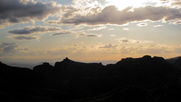
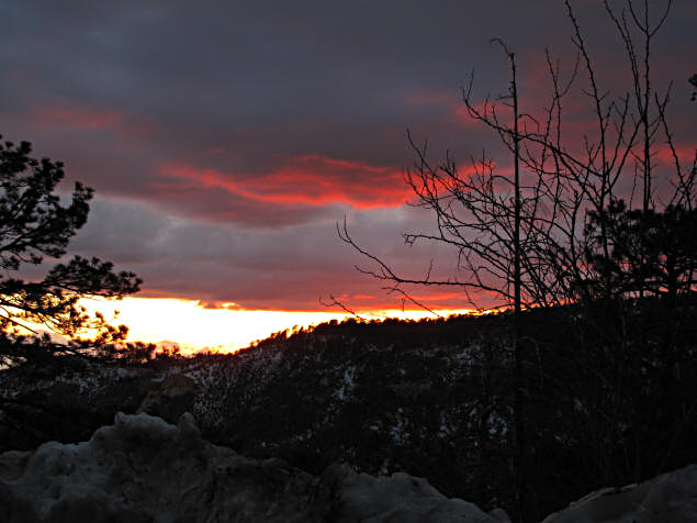
around and headed back to Tucson. By now the sun was peaking below the hanging
clouds, making for a spectacular sunset.
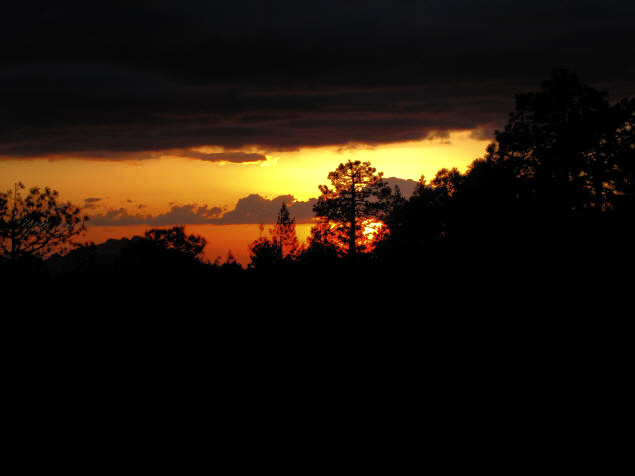
Seriously, it was all I could do to stay on the road, the skylight
spectacular was so diverting. Every turn would provide some new framing for the
glorious reds, blues and violets on display.
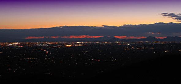
Eventually I returned to that first vista from which I had photographed
Tucson. Now it was almost full-on night, and the lights of the city blazed
beneath the lingering glow of evening.
So: Enjoyable drive, check. Peaceful afternoon, check. Fantastic
photo ops, check. Actually taking pictures, check. My return
to Mount Lemmon was a success, even if the town of Summerhaven had
turned out to be closed.
But I am already looking forward to returning in the summer.